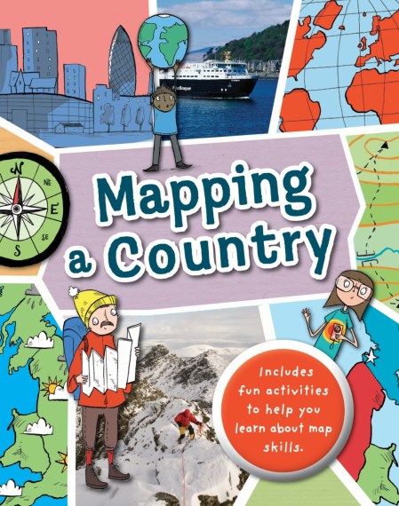
Mapping: My Country
On sale
10th August 2017
Price: £8.99
Genre
Children's, Teenage & Educational / Children's / Teenage: General Non-fiction / People & Places (children's
Selected:
Paperback / ISBN-13: 9780750291934
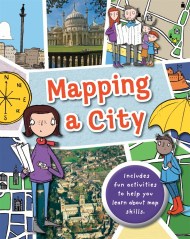
Full of hands-on activities to help you learn all about map skills whilst also learning about the features of the UK. This book will show you what a bird’s-eye map is by looking at aerial photos; how landmarks can be shown as symbols; how to measure scale and distance; what map plans are; how compass points show you how to find directions; how to follow pathways and roads; how to use grid references; looking at landuse; and looking at transport maps.
Illustrations by Sarah Horne in an amusing and lively style are combined with photographs to really capture a child’s attention helping them to learn these important map skills.
Illustrations by Sarah Horne in an amusing and lively style are combined with photographs to really capture a child’s attention helping them to learn these important map skills.
Newsletter Signup
By clicking ‘Sign Up,’ I acknowledge that I have read and agree to Hachette Book Group’s Privacy Policy and Terms of Use

